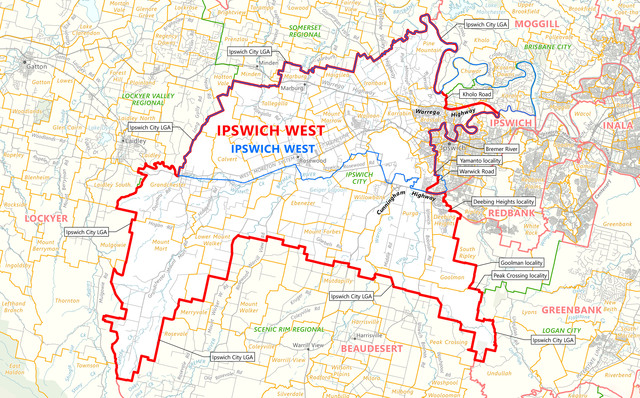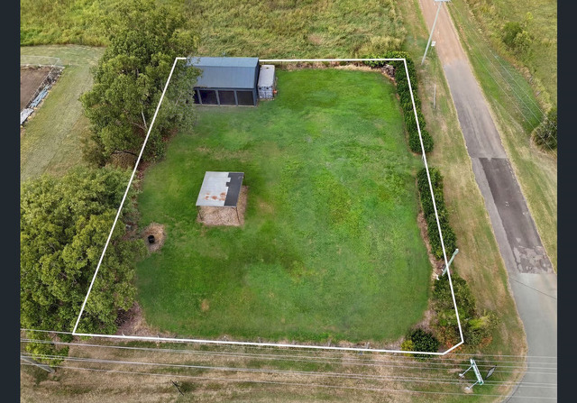
THAGOONA residents have voiced strong objections to a controversial rezoning application, warning the suburb’s semi-rural character is under threat.
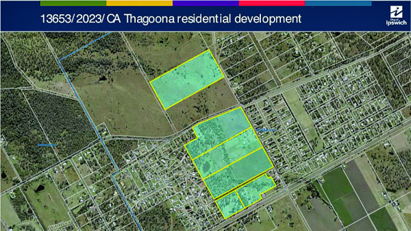
The proposal, lodged under DA 13653/2023/CA, seeks to rezone land along Karrabin Rosewood, Rosewood Thagoona, and Thagoona Haigslea roads. It would convert six large lots into 20 subdivisions, allow apartment buildings up to five storeys near the Thagoona rail station, and accommodate single-storey or two-storey dwellings on smaller lots.
Council has received 189 submissions on the project, the majority opposing it.
Business owner Nikki Gough told the Independent Decision Review Panel at the recent hearing that the development posed an existential threat to Thagoona’s identity.
“The scale and design of the proposed development is not compatible with the surrounding area at all,” she said, adding that housing densities projected at 75 dwellings per hectare were out of step with the character of the area.
Meanwhile, town planner Boyd Sargeant of Sargeant Planning, said the design included measures to mitigate environmental impacts.
“We’re not touching O’Shea’s Gully,” he said. “It’s important in the landscape, and for the connections it has with existing vegetation. Some of the significant aspects of the ecological assessment were identified. The koala, whilst not observed on site, is recognised as occurring in that location and has been recorded. Seventy-five percent of that vegetation is being retained for the koala in large, connected open space systems that then connect further to the south.”
Ms Gough went on to question tree clearing at the site in September 2022 – more than a year before the application was lodged – saying residents were told it was for bushfire hazard reduction, raising concerns about compliance and transparency.
Traffic and infrastructure pressures were another key concern. Local resident Sue Dunne said the proposal would increase traffic but offered “no assurance that infrastructure will be delivered when needed”.
“[The plan is] complicated by the mix of local and state-controlled roads, which require co-ordination between different levels of government,” she said.
“We have little confidence they will be able to work together effectively. How will increased traffic be managed? What provisions will be made for safe pedestrian or cycle access? How will emergency services reach the area during floods or peak demand?”
Ms Dunne said the proposal conflicted with Ipswich’s planning goals.
“Despite local flood risks, documentation doesn’t provide peer-reviewed stormwater modelling or assurance of safe downstream outcomes, and this stands at odds with council’s commitment to safe and resilient development,” she said.
The IDRP will now consider the application.